
Snowmass Trail Map
An interactive map of Snowmass near Snowmass Village: every mapped run colored by difficulty, every lift, and links to the resort's official trail map and current conditions.
 FEATURED
Andrew Schiff - Scout Real Estate Group
A Denver native who began his real estate career in 2002, Andrew Schiff founded Scout Real Estate Group in 2013 after buildin…
View More →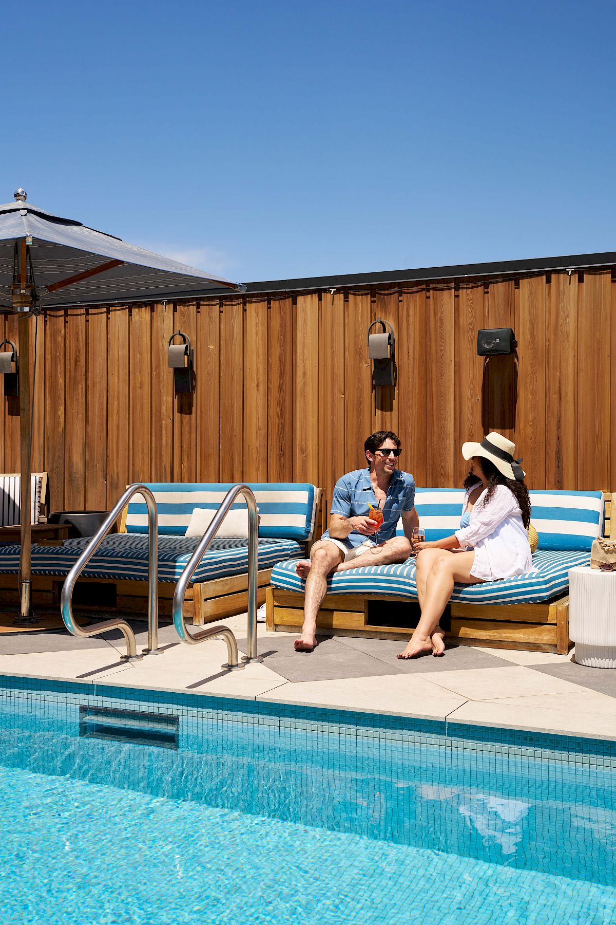 FEATURED
Clayton Hotel
In Cherry Creek, hotel guests can use members-club amenities including a rooftop pool and bar, restaurants, a lounge with cit…
View More → FEATURED
Duane Rademacher - Mile High Real Estate
Broker/owner Duane J. Rademacher works with buyers, sellers, and renters through a full-service real estate agency, drawing o…
View More → FEATURED
Davita Kidney Care - Corporate
People managing chronic kidney disease can find dialysis services, home dialysis training, kidney-health education, and diet …
View More →Map of Snowmass runs and lifts
This map shows 128 downhill runs and 17 lifts at Snowmass near Snowmass Village, Colorado. The area reports 4,406 feet of vertical and 3,342 skiable acres. Click or tap any run or lift for its name and difficulty, switch between the terrain and street views, and use the lists below to find a run by name.
- Easiest (green)
- Intermediate (blue)
- Advanced / expert (black)
- Extreme
- Lift
Map data © OpenStreetMap contributors, retrieved 2026-10-04. Difficulty ratings and run names are entered by volunteers and may differ from the resort's own trail map, and runs close or change during the season — use the official map and the resort's status page for navigation and safety.
Snowmass lifts (17)
- CampgroundChair lift
- Big BurnChair lift
- Alpine SpringsChair lift
- Elk CampChair lift
- Village ExpressChair lift
- Elk Camp GondolaGondola
- Assay HillChair lift
- Sheer BlissChair lift
- MeadowsChair lift
- Sky CabGondola
- Two CreeksChair lift
- Sam's KnobChair lift
- Cirque T-BarT-bar
- ScooperPlatter
- High AlpineChair lift
- Pines LowerPlatter
- Coney ExpressChair lift
Snowmass runs by difficulty (128)
Easiest (green) · 10 runs
- Assay Hill
- Dawdler
- Fanny Hill
- Funnel Bypass
- Galavant
- Lunchline (Lower)
- Lunchline (Upper)
- Nor Way
- Scooper (Lower)
- Scooper (Upper)
Intermediate (blue) · 53 runs
- Adams' Avenue (Lower)
- Adams' Avenue (Upper)
- Banzai Ridge
- Bear Bottom
- Blue Grouse
- Bottoms Up
- Bull Run
- Cascade (Lower)
- Cascade (Upper)
- Coffee Pot
- Coney Glade
- Creekside (Lower)
- Creekside (Upper)
- Dallas Freeway
- Drumstick
- East Branch
- Eddy Out
- Funnel
- Granite
- Green Cabin (Lower)
- Green Cabin (Upper)
- Grey Wolf
- Gunner's View
- Hal's Hollow (Lower)
- Hal's Hollow (Upper)
- Jack of Hearts
- Lodgepole
- Log Deck
- Long Shot
- Lower Banzai
- Lunkerville
- Max Park
- Mick's Gully
- Monkshood
- Moonshine
- Naked Lady
- Pipeline
- Rocky Mountain High
- Sandy Park
- Shear Bliss
- Sheer Bliss
- Slider
- Sneaky's
- Sunnyside
- Timberline
- Trestle
- Turkey Trot
- Ute Chute
- Velvet Falls (Lower)
- Velvet Falls (Upper)
- West Fork
- Whispering Jesse
- Wineskin
Advanced (black) · 27 runs
- A-Line
- Bearclaw
- Cabin
- Camp Three
- Campground (Lower)
- Campground (Upper)
- Fast Draw
- Free Fall
- Garrett Gulch
- Glissade
- High Pass
- Howler
- Powerline Glades
- Promenade
- Reidar's
- Rio
- Showcase
- Slot (Lower)
- Slot (Upper)
- Sneaky's Glades
- Split Tree
- The Edge
- Tom's Trace
- West Face
- Wildcat
- Wildcat (Lower)
- Zugspitze
Expert (double black) · 38 runs
- AMF
- Baby Ruth
- Buckskin
- Buckskin Cliffs
- Cassidy's Union
- Cirque Cornice
- Cirque Dikes
- Cirque Headwall
- Cookies
- East Wall
- Frog Pond Glades
- Glade One
- Glade Three
- Glade Two
- Gowdy's
- Grinder
- Hanging Valley Exit
- Hanging Valley Glades
- Headwall
- KT Gully
- Little Headwall
- Lower Ladder
- Possible
- Powderhorn
- Ptarmigan
- Roberto's
- Rock Band Chute
- Rock Island
- Strawberry Patch
- Upper Ladder
- Valley Valley
- Wall 1
- Wall 2
- Waters
- Weird Woods
- West I
- West II
- Willy's
Other ski areas nearby
- Buttermilk · about 5 mi away (straight line)
- Aspen Highlands · about 5 mi away (straight line)
- Aspen Mountain · about 7 mi away (straight line)
- Crested Butte Mountain Resort · about 20 mi away (straight line)
- Sunlight Mountain Resort · about 25 mi away (straight line)