
Howelsen Hill Trail Map
An interactive map of Howelsen Hill Ski Area near Steamboat Springs: every mapped run colored by difficulty, every lift, and links to the resort's official trail map and current conditions.
 FEATURED
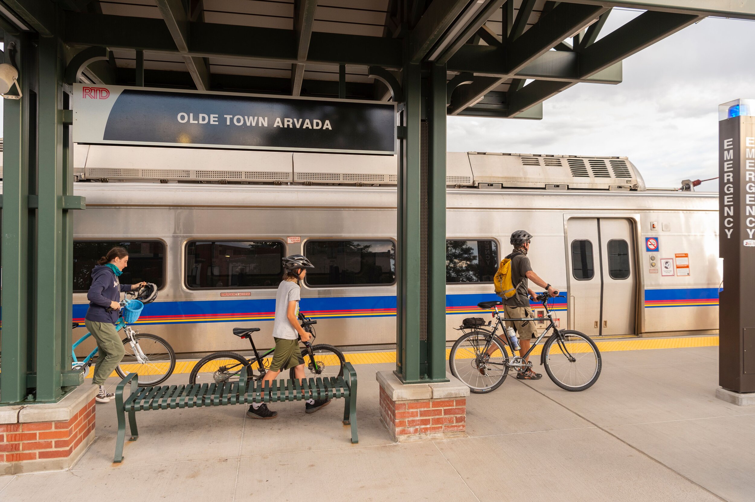
Visit Arvada
Just nine miles from Denver, Arvada makes an easy base or day stop for exploring the Front Range, with Golden and Boulder als…
View More →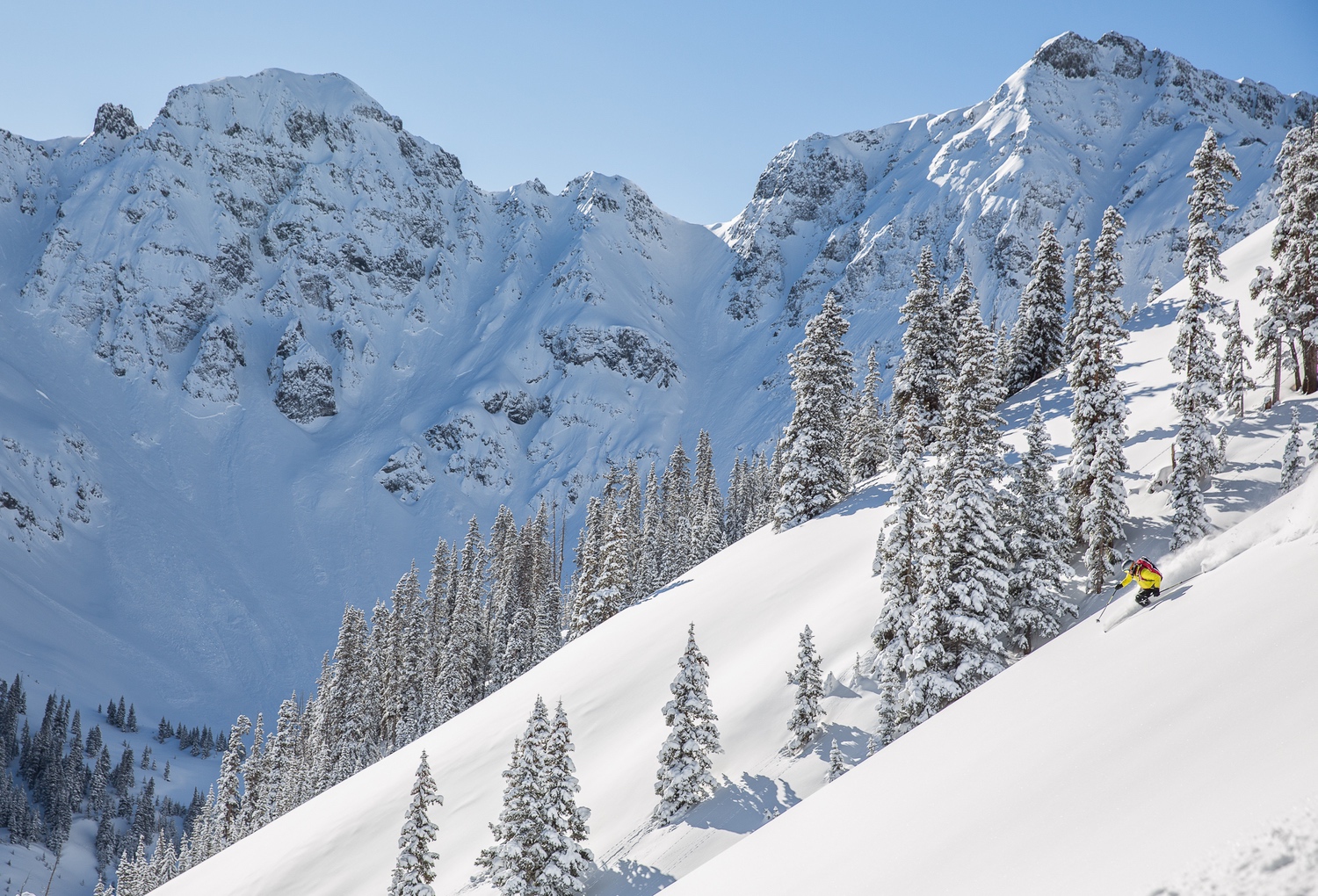 FEATURED
Silverton Mountain
Advanced and expert skiers come here for ungroomed, backcountry-style terrain with no clear-cut runs and average snowfall top…
View More → FEATURED
Neneh Biffenger - Green Means Go
Nearly 30 years in sales, marketing, and business development inform Neneh Biffinger’s keynotes and workshops for sales teams…
View More → FEATURED
Chrissy Graham - Compass Realty
Home buyers and sellers work with a Colorado native and Lone Tree resident who brings more than 25 years of residential real …
View More →Map of Howelsen Hill Ski Area runs and lifts
This map shows 14 downhill runs and 4 lifts at Howelsen Hill Ski Area near Steamboat Springs, Colorado. The area reports 440 feet of vertical and 50 skiable acres. Click or tap any run or lift for its name and difficulty, switch between the terrain and street views, and use the lists below to find a run by name.
- Easiest (green)
- Intermediate (blue)
- Advanced / expert (black)
- Extreme
- Lift
Map data © OpenStreetMap contributors, retrieved 2026-10-04. Difficulty ratings and run names are entered by volunteers and may differ from the resort's own trail map, and runs close or change during the season — use the official map and the resort's status page for navigation and safety.
Howelsen Hill lifts (4)
- Boardwalk Carpet LiftMagic carpet
- Small Magic CarpetMagic carpet
- Schnackenberg Poma LiftPlatter
- Barrows Chair LiftChair lift
Howelsen Hill runs by difficulty (14)
Easiest (green) · 5 runs
- Bobsled Run
- Emerald Service Road
- Long John
- Mile Run
- Pony Land
Intermediate (blue) · 5 runs
- Mountain View
- Ridge Run
- Straight Shot
- Town View
- Wren's Run
Advanced (black) · 4 runs
- East Side
- Rolling Pitch
- Timbers
- Winter Chute
Other ski areas nearby
- Steamboat Resort · about 3 mi away (straight line)
- Granby Ranch · about 59 mi away (straight line)
- Beaver Creek Resort · about 61 mi away (straight line)
- Vail Ski Resort · about 63 mi away (straight line)
- Winter Park Resort · about 70 mi away (straight line)