
Echo Mountain Trail Map
An interactive map of Echo Mountain near Idaho Springs: every mapped run colored by difficulty, every lift, and links to the resort's official trail map and current conditions.
 FEATURED
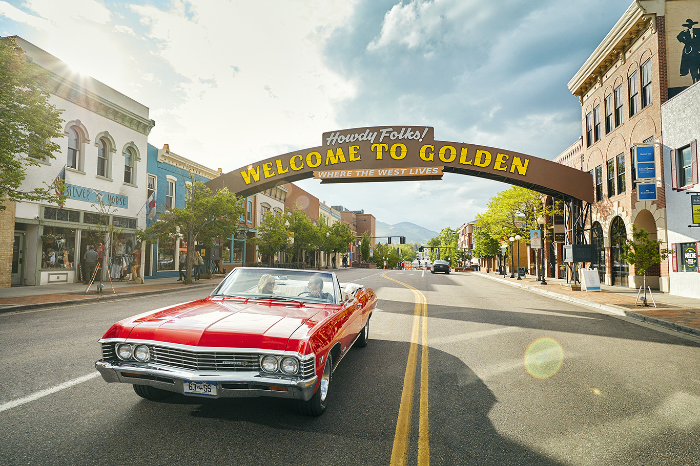
Visit Golden
Planning a Golden trip can start with trails along Clear Creek, Lookout Mountain, historic downtown, and the Coors Brewery, d…
View More → FEATURED
South Denver Cardiology
Established in 1973, this Littleton heart center combines cardiology care with prevention and recovery support, including att…
View More → FEATURED
State Farm - Roger Mangan
After 16 years in education, Roger Mangan became a State Farm agent serving Centennial and nearby Denver metro communities. H…
View More → FEATURED
Vehicle Vault
A private, family-assembled automotive collection is now open for public viewing near Denver, with rare and exotic cars prese…
View More →Map of Echo Mountain runs and lifts
This map shows 7 downhill runs and 2 lifts at Echo Mountain near Idaho Springs, Colorado. The area reports 600 feet of vertical. Click or tap any run or lift for its name and difficulty, switch between the terrain and street views, and use the lists below to find a run by name.
- Easiest (green)
- Intermediate (blue)
- Advanced / expert (black)
- Extreme
- Lift
Map data © OpenStreetMap contributors, retrieved 2026-10-04. Difficulty ratings and run names are entered by volunteers and may differ from the resort's own trail map, and runs close or change during the season — use the official map and the resort's status page for navigation and safety.
Echo Mountain lifts (2)
- Unnamed liftChair lift
- Unnamed liftMagic carpet
Echo Mountain runs by difficulty (7)
Easiest (green) · 4 runs
- Gold Digger
- Lucky's Loop
- To Traveler's
- Traveler's Traverse
Intermediate (blue) · 2 runs
- Full Send
- Hollywood
Advanced (black) · 1 run
- The Glades
Other ski areas nearby
- Eldora Mountain Resort · about 18 mi away (straight line)
- Arapahoe Basin · about 19 mi away (straight line)
- Winter Park Resort · about 19 mi away (straight line)
- Loveland Ski Area · about 20 mi away (straight line)
- Keystone Resort · about 24 mi away (straight line)