


What it is like
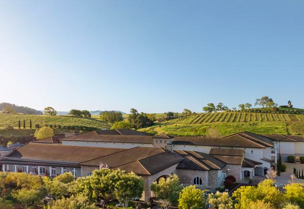
Bel Aire Neighborhood is bounded by Byway East and Harkness Street to the west, Trancas Street to the south, Jefferson Street to the east, and Valencia Street to the north. It has quiet, tree-lined, wide residential streets, active bustling commercial centers, and easy access to the highway and up-valley locations. Before development in the 1950s, it was primarily agricultural fields and orchards; Bel Aire Plaza, at Highway 29 and Trancas, is described as Napa’s favorite dining and shopping destination.
Homes and housing
Bel Aire is bounded by Byway East and Harkness Street, Trancas Street, Jefferson Street, and Valencia Street. It has quiet, tree-lined, wide residential streets with active commercial centers, and it was primarily agricultural fields and orchards before development in the 1950s. Napa’s City Council adopted a comprehensive General Plan update on October 18, 2022, guiding development through 2040.
History and landmarks
Bel Aire was primarily agricultural fields and orchards prior to development in the 1950s. The neighborhood is bounded by Byway East and Harkness Street, Trancas Street, Jefferson Street and Valencia Street, with quiet, tree-lined, wide residential streets and active commercial centers.
Parks, dining and things to do
Bel Aire has quiet, tree-lined, wide residential streets with active bustling commercial centers and easy access to the highway and up-valley locations. Trancas Crossing Park at 610 Trancas St. is open sunrise to sunset and has hiking trails, a kayak launch and restrooms.
Community and events
Bel Aire has quiet, tree-lined, wide residential streets with active bustling commercial centers, bounded by Byway East and Harkness Street, Trancas Street, Jefferson Street and Valencia Street. Napa Parks & Recreation community events include the 4th of July Celebration & Drone Show, Napa Lighted Art Festival, Dia de los Muertos, Community Playdates at Parks, Sports Tournaments and Alston Park Dog Parade.
Schools, getting around and services
Bel Aire is bounded by Byway East and Harkness Street on the west, Trancas Street on the south, Jefferson Street on the east, and Valencia Street on the north, with easy access to the highway and up-valley locations. Vine provides public transit for Napa Valley, with local, regional and shuttle routes, real-time arrivals and text alerts.
Sources: cityofnapa.org; cityofnapa.org; vinetransit.com