



Setting
Broomfield is located midway between Denver and Boulder along U.S. Routes 36 and 287. It is part of the Denver-Aurora-Centennial Metropolitan Statistical Area and the Front Range Urban Corridor.
At the 2020 United States census, Broomfield had a population of 74,112. Its total area was 21,471 acres, including 371 acres of water. Rocky Mountain Metropolitan Airport is located in Broomfield.
Early History
The Broomfield post office opened on September 26, 1884. Historians have suggested that the name came from sorghum grown in the area, known as broomcorn, whose stalks were sold for making brooms and whisk brooms.
Rail lines were part of the area’s development. The Colorado Central Railroad built a narrow-gauge line from Golden in 1873, the Denver, Utah and Pacific Railroad arrived in 1881, and the Denver, Marshall and Boulder Railway built a line through present-day Broomfield in 1886. An early name for the area was Zang’s Spur, named for a railroad spur serving Adolph Zang’s grain fields.
Turnpike and City-County Formation
The Denver–Boulder Turnpike was built through the Broomfield area to speed travel between Denver and Boulder. Construction began in 1950, and the toll road opened to traffic on January 19, 1952, with its only toll plaza at Broomfield.
Broomfield was incorporated on June 6, 1961, in the southeastern corner of Boulder County. After decades of annexation, the city extended into Adams, Jefferson, and Weld counties as well as Boulder County.
Government and Local Services
Broomfield operates as a consolidated city-county. The city council also serves as the board of county commissioners, and the police chief also serves as county sheriff.
The Broomfield Police Department carries out duties normally handled by a county sheriff’s office, including operating the county jail, providing court security and bailiff services, and providing civil process in the county.
Business, Media, and Recreation
In the 1990s, Broomfield and nearby suburbs had economic growth that was largely focused in technology. FlatIron Crossing is a large shopping and entertainment center, and companies headquartered in Broomfield include Crocs, Vail Resorts, MWH Global, Flatiron Dragados, Webroot, Noodles & Company, Mrs. Fields, and Spatial Corp.
The Broomfield Enterprise is the local newspaper, and KBDI-TV, a secondary PBS member station for the Denver area, is licensed to Broomfield. Recreational facilities and amenities include the Paul Derda Recreation Center and pool, athletic fields, courts and rinks, open space, trails, a skate park, and the Broomfield Community Center.
What it is like
Broomfield is located along the US-36 corridor at an elevation of 5,344 feet, with views of the Rocky Mountain Front Range. It is a city and county of 78,453 residents and 34 square miles, connected by residents, open lands, high-speed internet, global companies and a multimodal transportation network.
Homes and housing
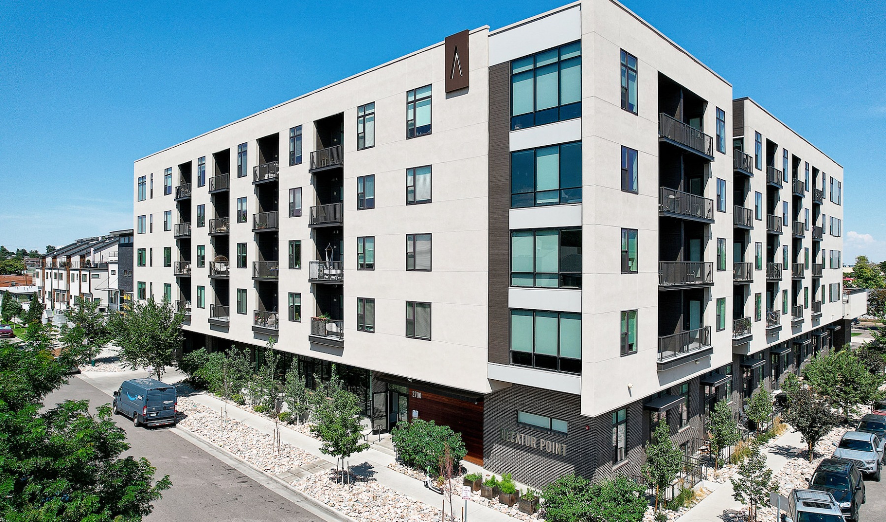
Broomfield grew from late-1800s dryland farms into a small farming hub around 120th Avenue and Wadsworth Boulevard, with grain elevators, a grocery, hotel, railroad depot, bank, and about a dozen residences in the 1920s. From 1900 to 1957, 100 to 200 people lived on farmland; in 1955, Broomfield Heights began as a master planned community billed as a model city. Listed neighborhood plans include Original Broomfield, Broomfield Heights, and Westlake, and historic surveys covered the 120th Avenue Corridor and Broomfield Heights filings.
Sources: Broomfield, Colorado (Wikipedia, CC BY-SA); broomfield.org; broomfield.org