

What it is like
Rincon Valley is a census-designated place in Pima County, in the valley of the same name. It is a small one. The 2024 American Community Survey puts the CDP at about 6,500 people, with a median household income of about $132,100 and a median home value of about $547,300. The stored ZIP codes are 85747 and 85641. No median rent is stored for it, so this page leaves that out rather than guess.
The valley and the park next door
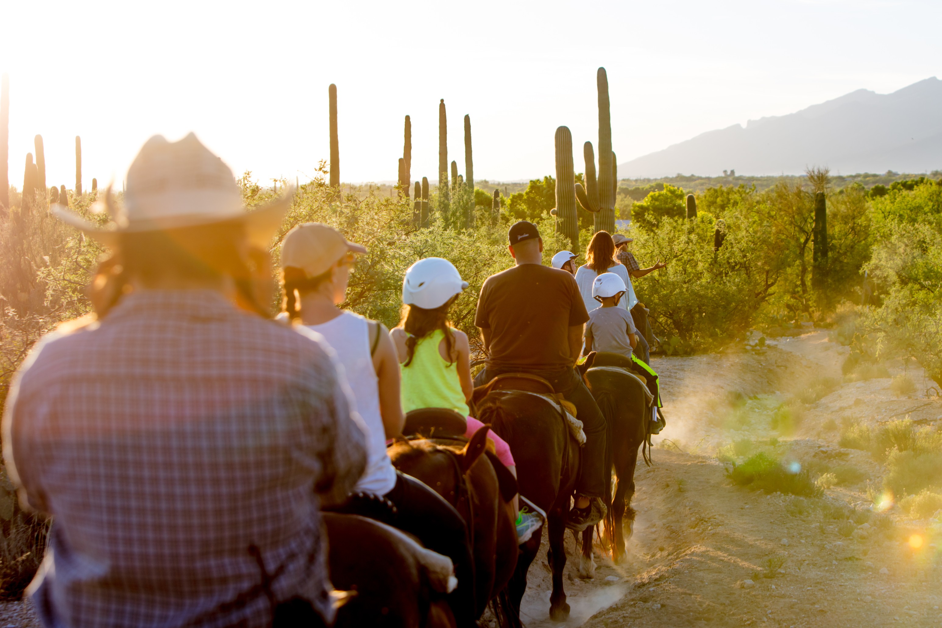
The best official description of the valley's landscape comes from the National Park Service. In 1991, Congress authorized a 4,011-acre expansion along the southern boundary of the Rincon Mountain District of Saguaro National Park. The NPS calls the result the Rincon Valley Area, and says the land preserves scenic Sonoran Desert and a stretch of the riparian area along Rincon Creek. Some land inside the expansion is still private and closed to the public. I could not tell from these sources exactly where the census boundary sits relative to the park addition, so read this as a picture of the valley, not a map of the CDP.
The trailhead for that area is Loma Alta, at the north end of Camino Loma Alta. The last half mile of the road is unpaved and rocky and can wash out when Rincon Creek floods. The park has restored old ranch roads into a trail system, and signs along it tell the story of settlement and ranching in the valley. The Hope Camp Trail runs 7 miles out and back toward Tanque Verde Ridge and Rincon Peak. The Ridgeview Trail is a 2.2-mile out-and-back and the NPS calls it moderately steep, climbing to a turnaround. The NPS says Passage 9 of the Arizona Trail runs through the Rincon Valley and the Saguaro Wilderness Area.
Looking east, the NPS lists Tanque Verde Peak at 7,049 feet, Mica Mountain at 8,666 feet and Rincon Peak at 8,482 feet. It describes the Rincons as the only designated wilderness "sky island" in southern Arizona.
Schools
Wikipedia says the CDP is in the Vail Unified School District. The district describes itself as located southeast of Tucson, opened in 1903 as a one-room schoolhouse, and grown a great deal in the past 20 years from a little ranching and railroad community into a place for suburban families.
Sources: Rincon Valley, Arizona (Wikipedia, CC BY-SA); Rincon Valley Area (Saguaro National Park, National Park Service); About the Vail School District